Locating Faults in Fractured Aquifers
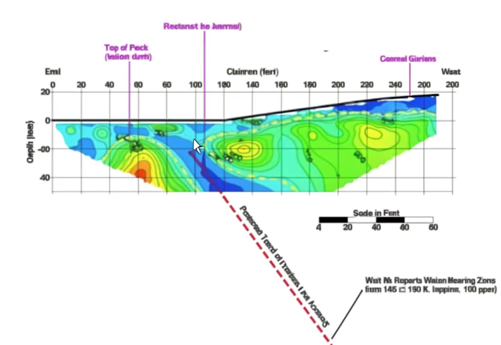
In weathered crystalline basement terrains, access to groundwater is often limited by low permeability caused by clay content. The resource is instead concentrated in deeper, unweathered fault zones where permeability is significantly higher.
Our Solution:
We locate these fracture zones through electrical resistivity profiling and imaging. By matching electrode spacing to the target depth, we pinpoint the sectors most favourable to siting a productive borehole.
Deliverables Resistivity profiles and cross-sections, fracture zone mapping, borehole siting recommendation.
Sectors Rural water supply, agriculture, local authorities, industry.
Understanding Water Table Dynamics
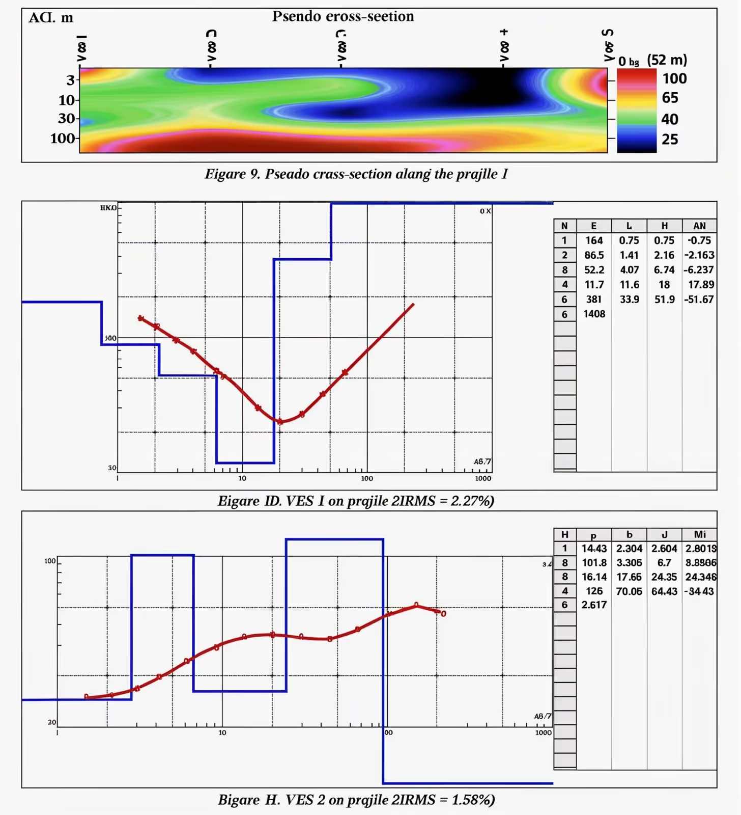
In sedimentary basins, groundwater is stored within the pore space of rock formations. Porosity, permeability, fracturing and karst networks cause substantial variation in the thickness and distribution of the water table — making subsurface characterisation essential before drilling.
Our Solution:
• Vertical Electrical Sounding (VES)
A four-electrode array that records resistivity at increasing depths and produces a clear log — ideal for rapid characterisation of the water table.
• Electrical Resistivity Tomography (ERT)
For complex geological settings, ERT delivers detailed 2D/3D images of groundwater variation and guides the selection of optimal drilling sites.
Deliverables VES logs, ERT cross-sections, water table variation mapping, drilling site recommendations.
Sectors Hydrogeology, agriculture, drinking water supply.
Managing Saltwater Intrusion
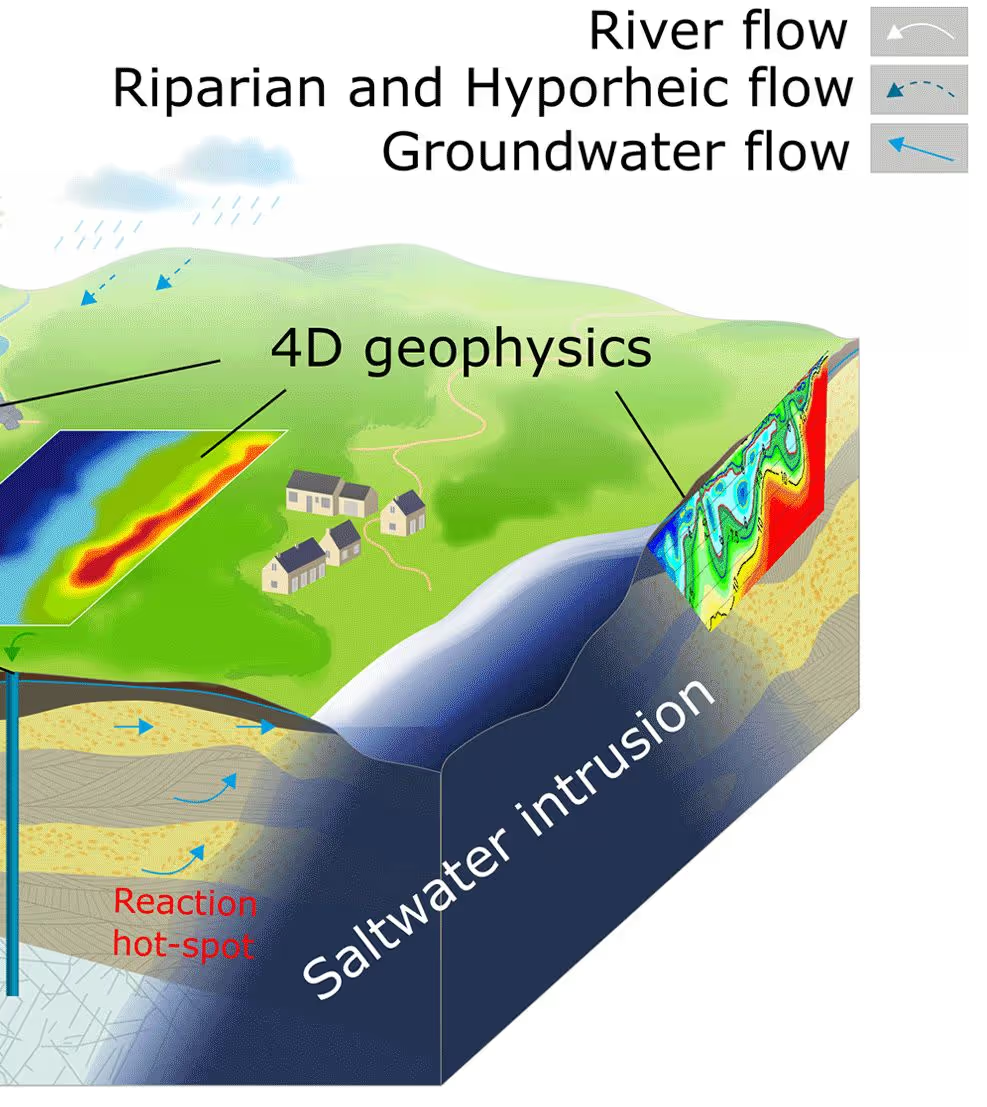
In coastal areas, over-abstraction drives saline water into freshwater aquifers, threatening water supply, agriculture and industrial operations.
Our Solution:
Saline water has a markedly low resistivity that contrasts sharply with fresh water. Using resistivity soundings (VES) and tomography (ERT), we map the extent and advance of the saltwater wedge, helping you control the risk and safeguard the freshwater resource.
Deliverables Freshwater/saltwater interface mapping, resistivity cross-sections, intrusion monitoring, management recommendations.
Sectors Coastal zones, water engineering, agriculture, local authorities.
A project or a site to investigate?
All our work is non-invasive and observes strict confidentiality of our clients' sensitive data and information.