Expanding Quarry Operations
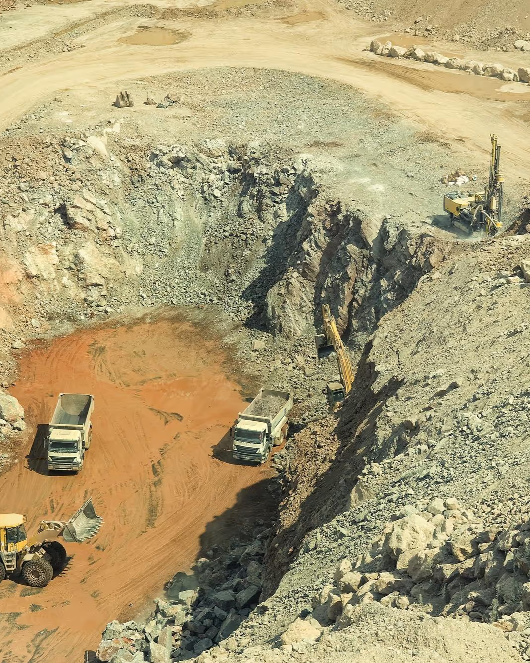
When an operator extends the extraction footprint, precise subsurface mapping prevents costly mistakes. The stakes: identifying quality resources (gravel, sand, bauxite, massive rock) and distinguishing them from unproductive material, limiting investment in low-value sectors, and maximising extraction yield.
Our Solution:
We combine electrical resistivity tomography (ERT) with chargeability measurements (induced polarisation) for high-resolution subsurface imaging. This integrated approach allows you to:
• Target the resource
Locate zones rich in gravel, sand, bauxite or massive rock through resistivity contrasts.
• Differentiate materials
Use chargeability to separate workable resources (dense rock) from low-value or saturated layers.
• Validate accuracy
Cross-check results against verification boreholes for dependable data.
Outcome: Non-invasive mapping that optimises extraction plans, reduces exploration costs and maximises resource recovery while limiting risk.
Deliverables ERT and chargeability cross-sections, resource mapping, borehole calibration, operational support report.
Sectors Quarries, aggregates, mining, construction materials.
A project or a site to investigate?
All our work is non-invasive and observes strict confidentiality of our clients' sensitive data and information.