Our Technologies
Our Technologies
Precision Geophysics for Clearer Insights
We use advanced, non-invasive methods to map the subsurface and solve real-world challenges—delivering actionable data without unnecessary complexity.
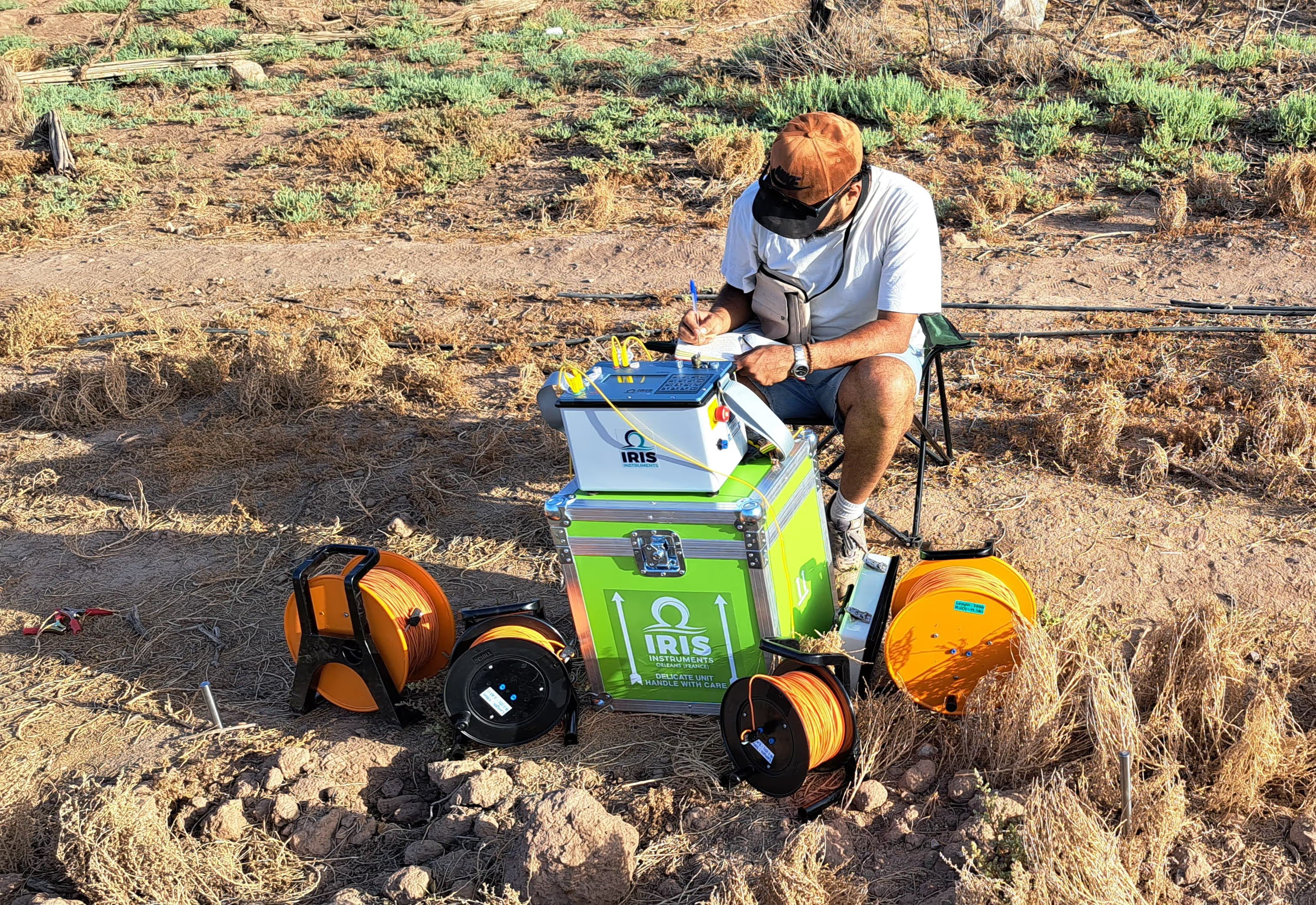
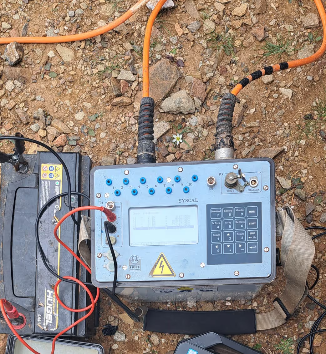
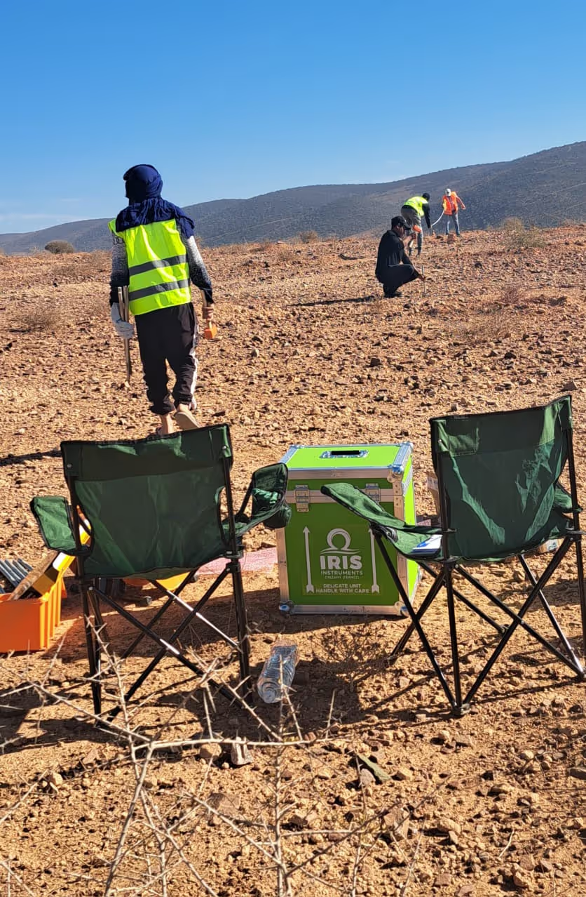
Electrical Resistivity Tomography (ERT)
Map subsurface structures in 2D/3D
What We Do:
- Image soil, rock, and groundwater layers by measuring electrical contrasts.
Why It Matters:
- Locate aquifers or groundwater resources efficiently.
- Identify unstable ground, contamination, or voids for safer infrastructure planning.
- Reduce drilling costs with targeted subsurface profiles.
Induced Polarization (IP)
Detect hidden minerals and contaminants
What We Do:
- Analyze subsurface chargeability to pinpoint materials like sulfides, clays, or metallic minerals.
Why It Matters:
- Prioritize high-potential zones for mineral exploration.
- Map soil contamination or clay layers for environmental assessments.
Vertical Electrical Sounding (VES)
Profile subsurface layers in 1D
What We Do:
- Determine the depth and thickness of soil, aquifers, or bedrock with precision.
Why It Matters:
- Optimize borehole placement for water supply projects.
- Assess soil stability for construction or agricultural planning.
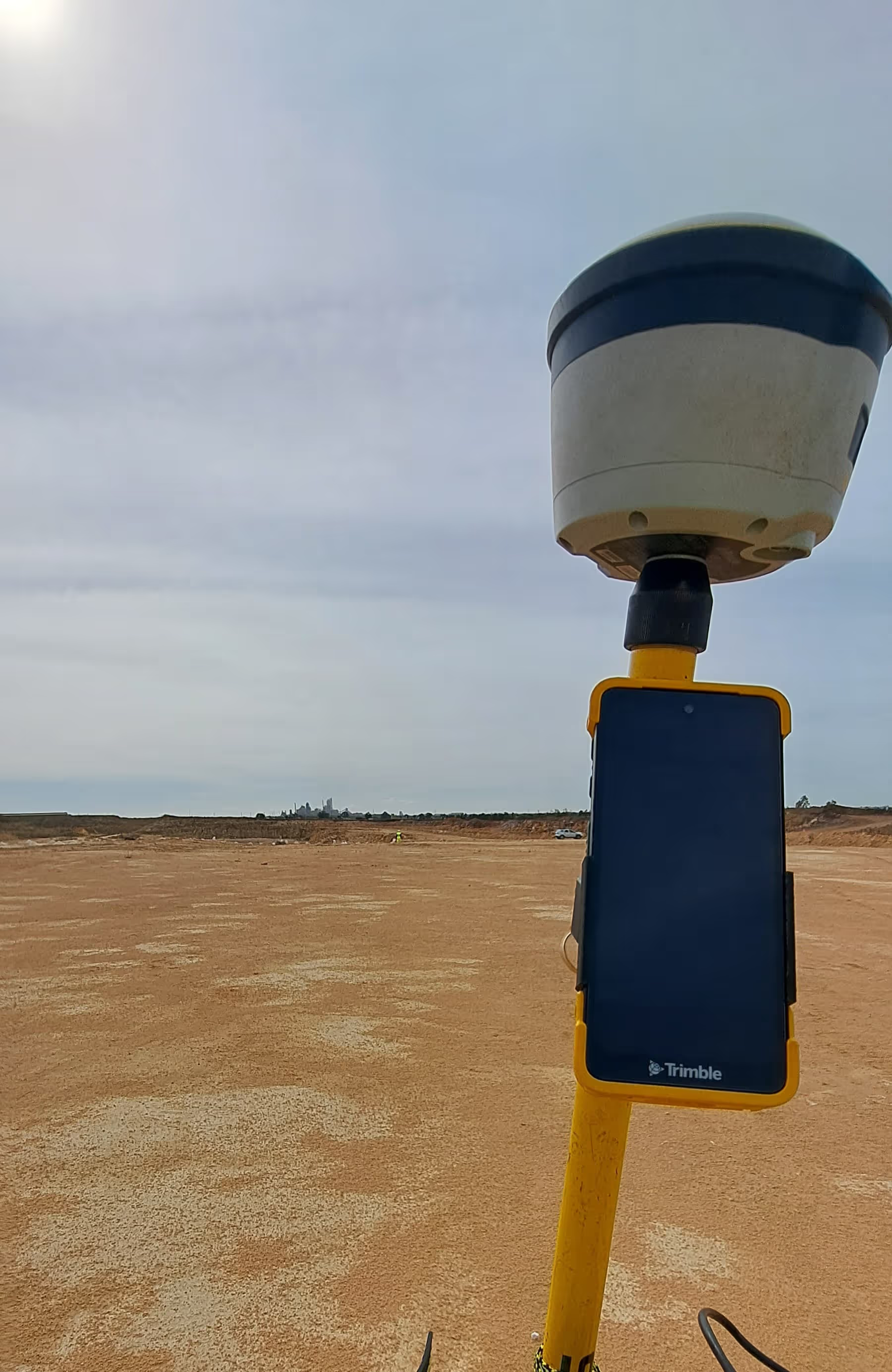
High-Precision GPS
Accurate data. Reliable results.
What We Do:
- Ensure every measurement is georeferenced for consistency and repeatability.
Why It Matters:
- Align geophysical data with maps or satellite imagery.
- Enable long-term monitoring of subsidence or groundwater changes.
Data Integration & Analysis
From raw data to actionable insights
3D Geological Models
Transform field data into interactive 3D visualizations of aquifers, mineral zones, or geological hazards.
Multi-Disciplinary Insights
Combine resistivity, IP, and geological data to refine exploration targets or environmental assessments.
Custom Analysis
Tailored workflows to meet your project's unique needs.
Why Choose Us
Why Partner With Us?
We deliver reliable geophysical solutions with a focus on value, clarity, and client satisfaction.
Cost-Effective
Surveys scaled to your budget and objectives.
Non-Invasive
Minimize site disruption with surface-based methods.
Transparent Process
Clear reporting with easy-to-understand visuals.
Future-Ready
Expanding our toolkit to better serve your needs.