
Monitoring Soil Pollution
Soil contamination is an invisible threat: it disrupts agriculture, weakens ecosystems and pollutes groundwater. Conventional investigations are invasive, time-consuming and limited in spatial coverage.
Our Solution:
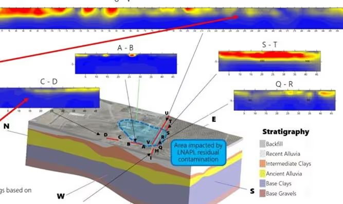
By combining electrical resistivity tomography (ERT) with induced polarisation (IP), we detect and delineate contaminated zones non-invasively — including certain heavy metals, hydrocarbons and leachate — and deliver actionable information to prioritise remediation.
Outcome: Concrete support for environmental consultants, engineers and decision-makers to target interventions and reduce long-term ecological risk.
Deliverables Resistivity and chargeability maps, delineation of contaminated zones, decision-support report.
Sectors Environment, industry, contaminated land, local authorities.
Waste Disposal Site Monitoring
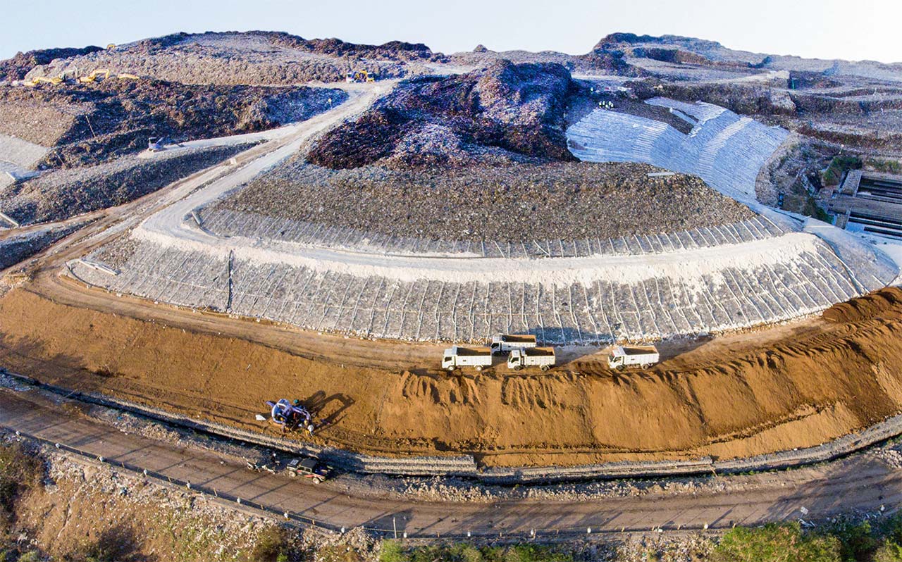
Poorly managed landfills and industrial sites can release harmful substances into soil and water. Without continuous monitoring, leaks remain invisible until the damage is extensive.
Our Solution:
Our geophysical methods provide reliable, long-term monitoring of storage sites. They allow you to:
• Detect leaks
Identify leaks through geomembranes or clay liners, verifying the effectiveness of containment.
• Track leachate
Monitor leachate flow and distribution to support controlled biodegradation.
Outcome: Continuous monitoring that helps operators stay compliant, respond quickly to anomalies, and avoid costly repairs, fines and reputational damage.
Deliverables Containment integrity mapping, leak localisation, time-lapse monitoring, compliance report.
Sectors Waste management, landfill operators, industry, environmental authorities.
Locating Buried Structures
Ancient remains, pipelines, undocumented utilities — buried structures complicate excavation and construction work. Conventional digging is costly, risky and destructive to heritage assets and urban networks alike.
Our Solution:
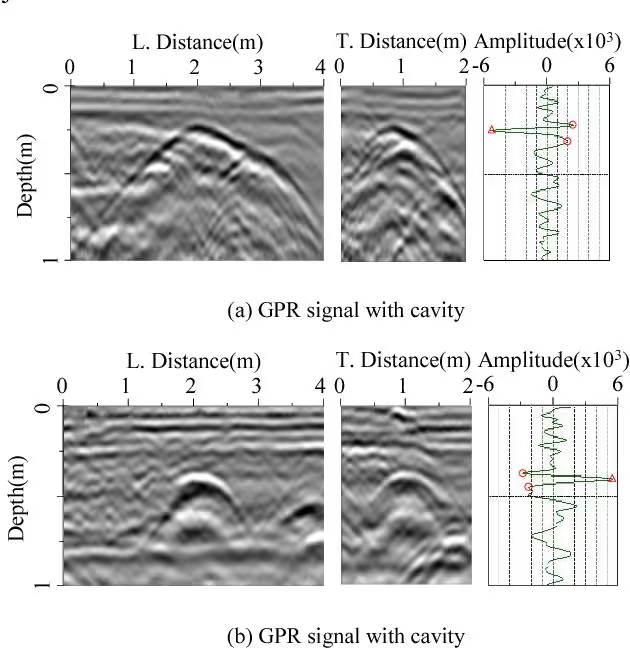
We combine resistivity imaging with ground-penetrating radar (GPR) to map hidden structures — ancient walls, burial sites, underground utilities — and deliver clear, precise data before excavation or construction begins. This approach removes guesswork and limits invasive digging.
Outcome: An essential tool for archaeologists, engineers and developers who need to work safely and efficiently.
Deliverables Buried structure mapping, radargrams, location plan, technical report.
Sectors Preventive archaeology, civil engineering, urban utilities, development.
A project or a site to investigate?
All our work is non-invasive and observes strict confidentiality of our clients' sensitive data and information.