Identifying Underground Cavities
Underground cavities — whether natural (karst) or man-made (former mine workings) — pose a major risk to people and structures: subsidence, sudden collapse and weakened foundations. Locating them before any project is essential to securing a site.
Our Solution:
We combine two complementary, non-invasive methods to detect voids from the surface, without excavation.
• Electrical Resistivity Tomography (ERT)
Measures subsurface resistivity contrasts to identify anomalies associated with cavities. Suited to deep investigation and large-scale mapping.
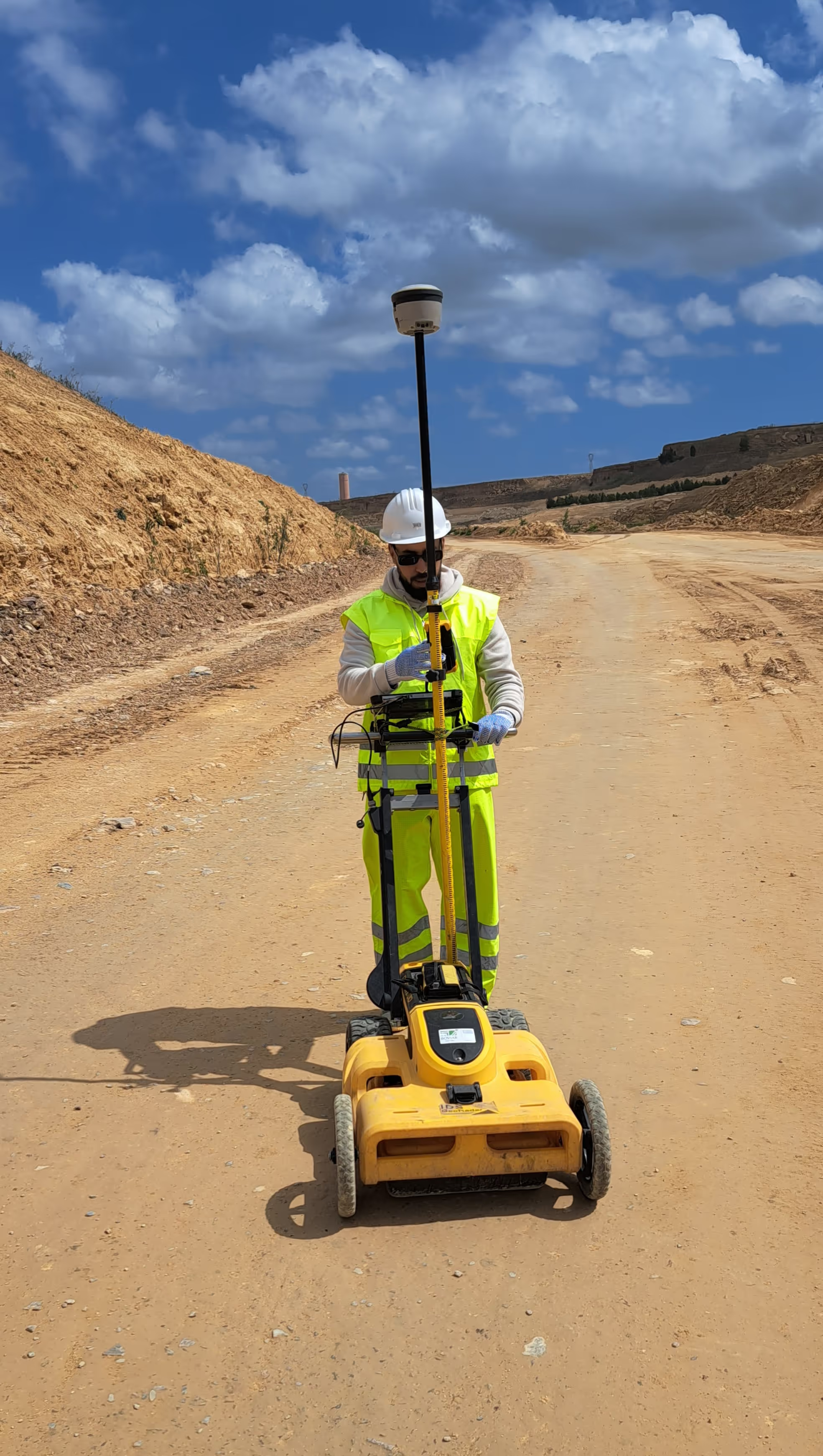
• Ground-Penetrating Radar (GPR)
Emits high-frequency electromagnetic waves to image shallow voids at high resolution, in real time. It refines the position and dimensions of cavities detected by ERT.
Outcome: By covering the full depth range — from the near surface to deep horizons — this combined approach ensures reliable detection and early intervention, reducing the risk of subsidence and collapse.
Deliverables Resistivity maps and cross-sections, interpreted radargrams, cavity location and size estimates, report with recommendations.
Sectors Construction, civil engineering, urban development, quarrying, heritage.
Evaluating Landslide Risks
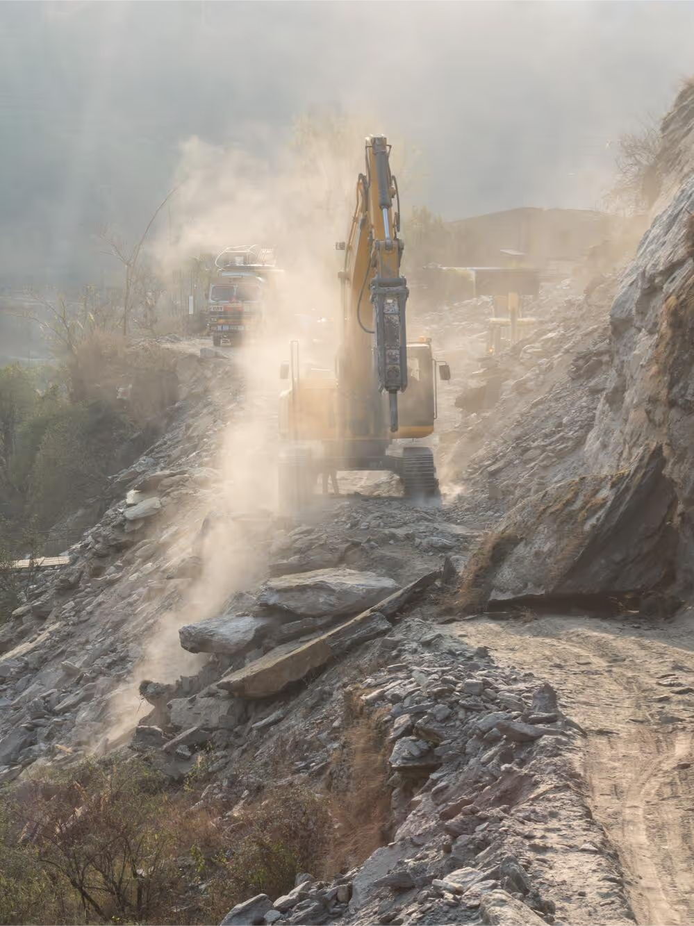
Landslides threaten lives, infrastructure and the environment. Effective prevention requires precise knowledge of the extent of the unstable zone, the depth of the failure surface and the volume of material that could be mobilised.
Our Solution:
We deploy electrical resistivity tomography (ERT), which reveals contrasts between stable and unstable materials such as saturated zones and low-cohesion layers. It allows us to:
• Map the landslide boundaries
Delineate the extent of unstable and high-risk sectors.
• Locate the failure surface
Determine the depth of potential slip planes to understand the mechanics of the movement.
• Estimate volumes
Quantify the material at risk in order to size mitigation measures.
Outcome: High-resolution data enabling proactive risk management, protection of infrastructure and public safety in sensitive areas.
Deliverables 2D/3D ERT cross-sections, unstable zone mapping, estimated failure surface depth, volume estimate, geotechnical report.
Sectors Civil engineering, roads and structures, slope management, local authorities.
Supporting Geotechnical Projects
The success of any construction project — building, road, bridge or dam — depends on sound knowledge of the subsurface: bedrock depth, thickness of weathered layers, presence of water or voids, and ground bearing capacity. Inadequate site investigation exposes projects to cost overruns, settlement and structural damage.
Our Solution:
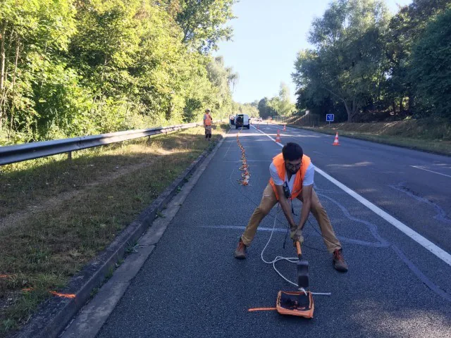
We provide non-invasive geophysical investigation in support of geotechnical studies, complementing and optimising mechanical boreholes.
• Electrical Resistivity Tomography (ERT)
Subsurface profiling, bedrock depth, weathered or saturated zones, void detection.
• Ground-Penetrating Radar (GPR)
Detection of utilities, slabs and shallow heterogeneities ahead of works.
Outcome: A continuous image of the subsurface that optimises borehole placement, secures foundation design and reduces uncertainty during construction.
Deliverables Geophysical cross-sections, bedrock profile, anomaly mapping, geotechnical support report.
Sectors Building, civil engineering, roads and bridges, dams, foundations.
A project or a site to investigate?
All our work is non-invasive and observes strict confidentiality of our clients' sensitive data and information.