Geological Mapping
Accurate geological mapping underpins the success of mineral exploration, environmental studies and infrastructure projects. Inadequate mapping leads to costly errors, ineffective planning and overlooked resources.
Our Solution:
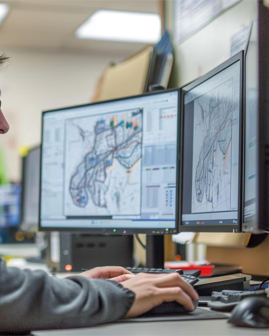
We produce surface and subsurface geological maps, combining field data, remote sensing and geophysical surveys to validate and refine their accuracy.
• 3D modelling
Dynamic models for visualising complex geological structures.
• Geophysical integration
Integration of geophysical data (magnetics, gravimetry and more) into the mapping for a complete picture.
• Precision mapping
High-resolution, project-specific maps for targeted exploration or engineering works.
Deliverables 2D geological maps, 3D models, georeferenced thematic maps, GIS database.
Sectors Mineral exploration, environment, infrastructure, regional planning.
Data Processing
Raw geophysical, geological and geospatial data must be processed before it becomes usable. Unprocessed or poorly analysed data leads to flawed interpretation and misguided decisions.
Our Solution:
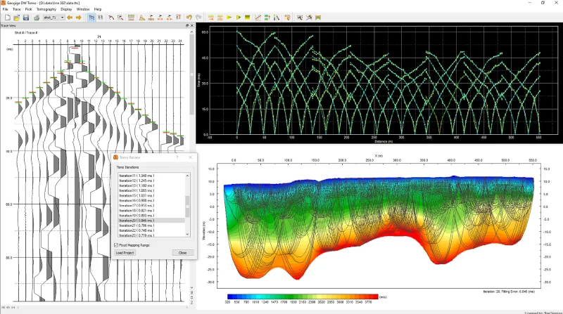
We carry out advanced analysis using specialist tools and automate workflows to gain efficiency and reproducibility.
• Signal processing
Statistical analysis and bespoke computation on geophysical datasets.
• Seismological analysis
Characterisation of fault systems, seismic hazard and induced seismicity.
• Radar interferometry (InSAR)
Processing and interpretation of satellite data for ground deformation studies.
• Geospatial processing
Production of multi-layer maps for multidisciplinary projects.
Deliverables Processed and documented datasets, maps and time series, reproducible workflows, methodology note.
Sectors Geophysics, deformation monitoring, seismology, environment.
Data Visualization
Complex datasets are difficult to interpret without clear visualisation — risking poor communication and misdirected project strategy.
Our Solution:
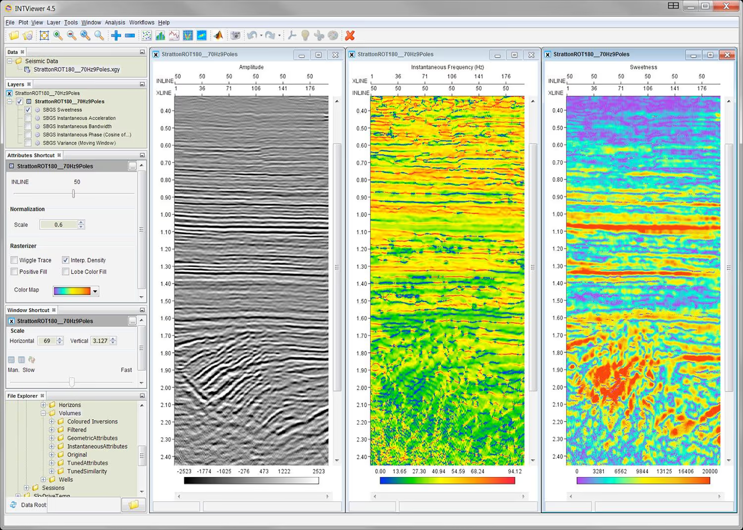
We produce interactive 2D/3D models and visual outputs tailored to each project.
• Interactive 3D models
For resource estimation or risk assessment.
• Geophysical anomaly imaging
Magnetic gradients, resistivity contrasts and more, with customisable grids and sections.
• Deformation maps
Time series for geospatial monitoring.
• Publication-quality outputs
Maps and cross-sections for reports and stakeholder presentations.
We can also deploy augmented reality (AR) to overlay subsurface models onto real sites and strengthen stakeholder engagement.
Deliverables Interactive 3D models, map plates, deformation maps, presentation materials.
Sectors Exploration, engineering, environment, project and stakeholder communication.
A project or a site to investigate?
All our work is non-invasive and observes strict confidentiality of our clients' sensitive data and information.